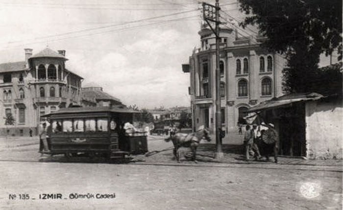
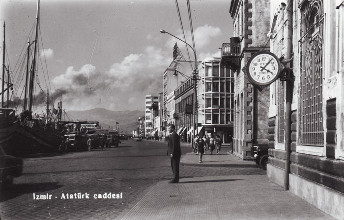
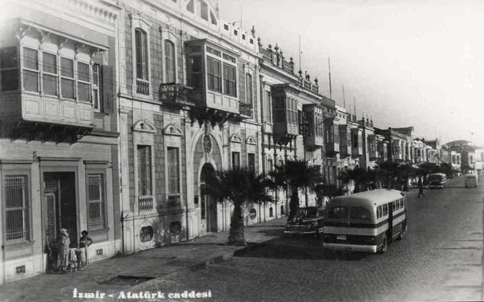
Views of Konak and Alsancak in the 20th century. |
|
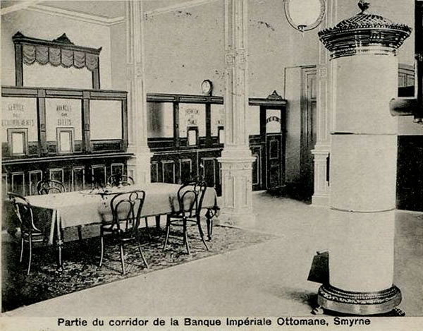
For many years the Ottoman Bank Smyrna branch was at the Baltazzi Han at Gialadika, rue des Verreries, Frangomahalla (Frank Quarter). |
|
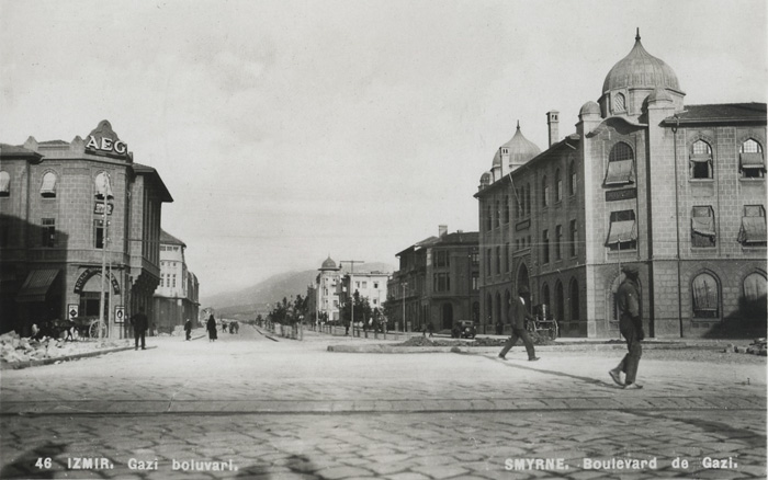
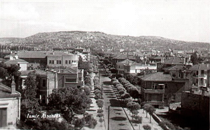
View of the Gazi Boulevard, 1930s, Izmir Stock exchange building on the right. |
|
|
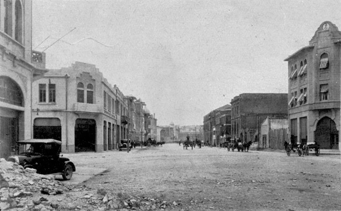
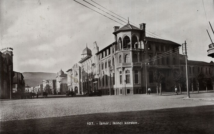
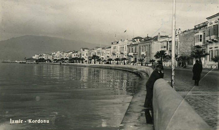
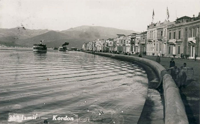
View of the Cumhuriyet Bulvarı, 1930s (İkinci Kordon). |
|
|
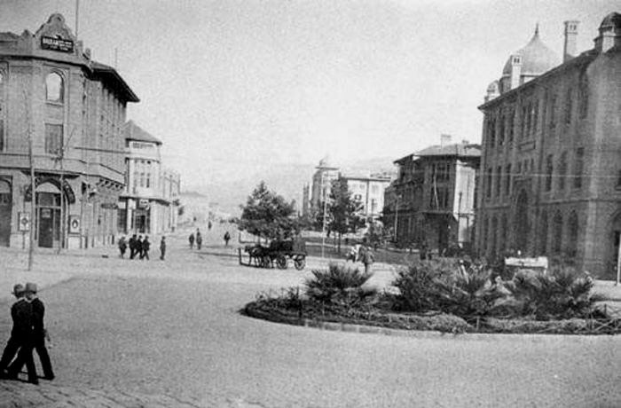
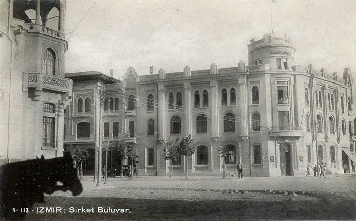
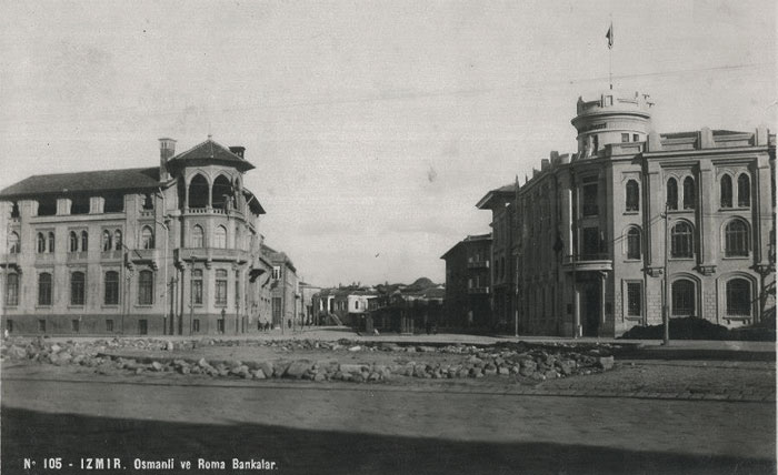
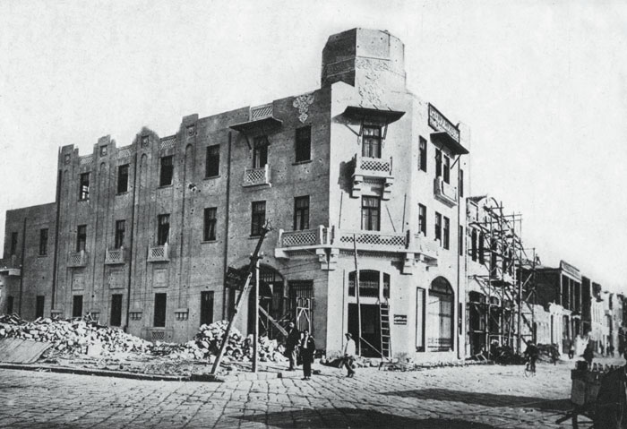
Again 1930s (?), buildings on the corner, left hand side the former Ottoman Bank, now housing Garanti Bankasi; on the right Vakıflar Bankası and Vakıflar Bölge Müdürlüğü (Directory of Foundations). Different views of this junction (start of the Fevzipaşa boulevard) below: |
|
|
|
|
|
|
|
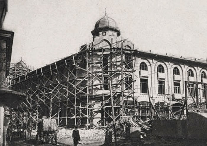
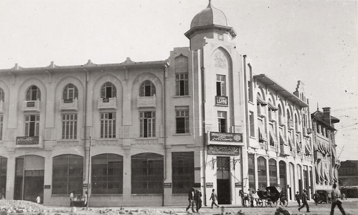
Büyük Kardiçalı Hanı, between Cumhuriyet Boulevard (İkinci Kordon), Mimarkemalettin Street and Şehitfethibey Street. Neo classical style and entered service in 1928, the work of the architect Mehmet Fesci. Photo below taken in the 1930s when it was being converted to a carpet shop of the Çolakzâde family. |
|
|
|
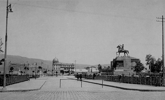
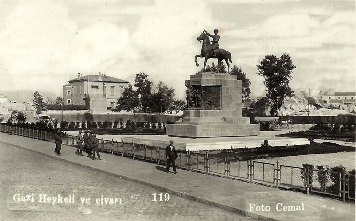
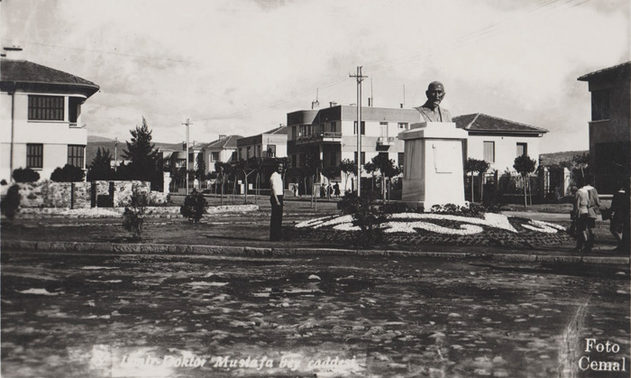
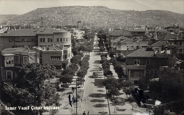
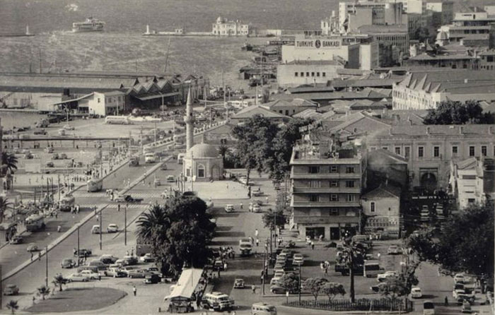
Cumhuriyet Square with the La Centrale School in the distance. The statue of Ataturk on horseback was created by the Italian sculpturer Pietro Canonica who according to newspapers of the time stays with the Sperco family in their house in Bornova. The date of this postcard would be post-1933 as the square is created, but pre-1947 when the Centrale Italian School visible in the background was demolished to make way for the road expansion of the 2nd Kordon and Vasıf Çınar Boulevard. |
|
|
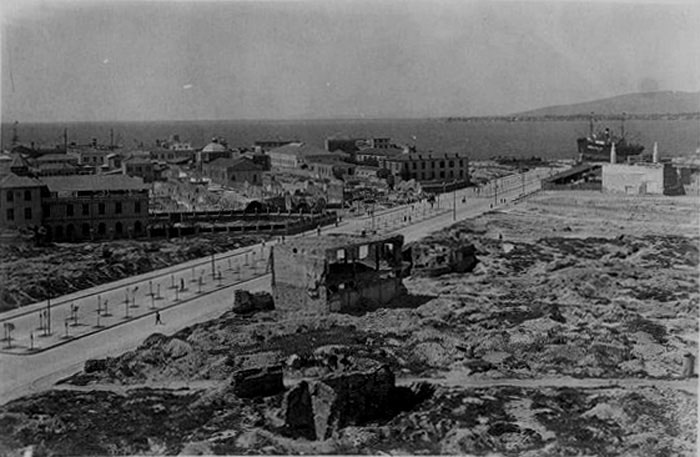
The newly laid out İsmet Paşa Boulevard (today’s Gaziosmanpaşa Bulvari) running across the burnt zone of Smyrna. The former Lazarist School is visible on the other side of the boulevard, towards the sea as well as the dome of the St. Maria Church in the centre distance. St. Polycarpe Catholic Church and its garden is visible higher up the road. On this side of the road a few decades later Efes and Hilton hotels would be built. |
|
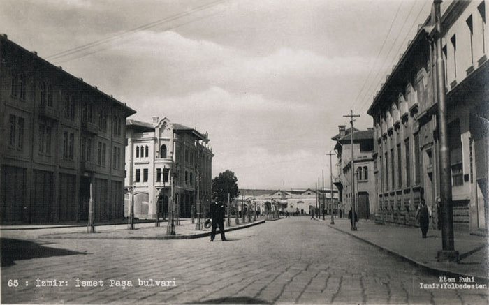
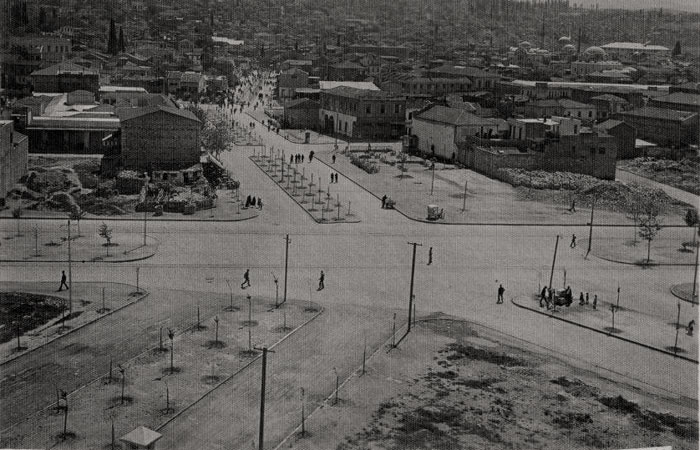
The continuation of İsmet Paşa Boulevard, with its junction with Gazi Boulevard (near present day Hilton Hotel). |
|
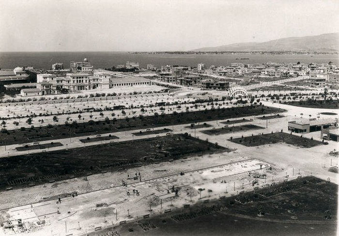
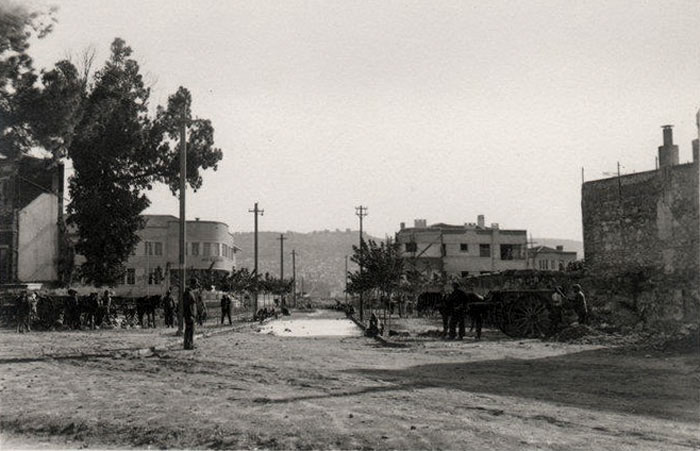
The Fair site being laid out on the remains of the heart of the old burnt quarter of Alsancak. |
|
|
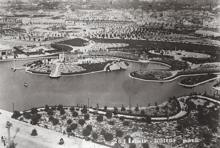
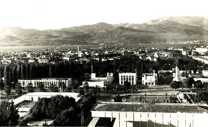
The Izmir (Dokuz Eylül) panayır, was the early form of the Izmir Fair (1933-35) before it was moved to the present site in 1936, the Kültür Park covering much of the burnt zone from 1922. The location is near Cumhuriyet Square around the present Efes Hotel. The fire station tower is visible in the distance. |
|
|
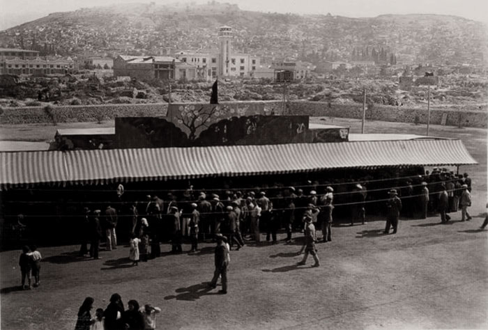
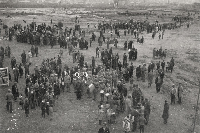
The Panayır period with what appears to be a ceremony to mark the beginning of the establishment of the Fair site. |
|
|
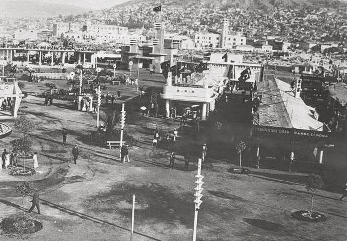
The Panayır in 1935 showing the stand of Banca di Roma in the foreground, the last year it would be based here. |
|
|
|
|
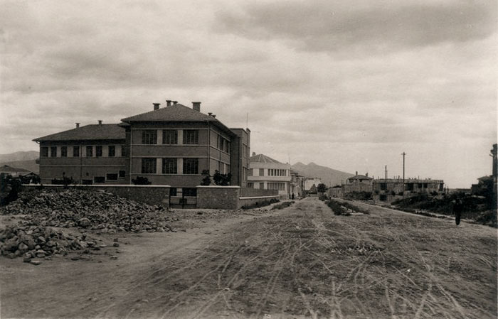
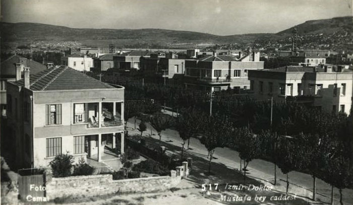
View of the Talatpaşa Boulevard. The building on the left is Gazi Primary School, (on the corner of Plevne Boulevard. |
|
|
|
|
|
|
Plevne Boulevard with Gazi Primary School on the left - below a later view. |
|
|
|
|
|
|
Kıbrıs Şehitleri Caddesi |
|
|
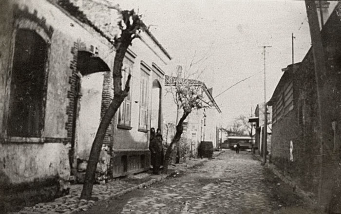
The former state of 1463 Sokak near Alsancak station. |
|
|
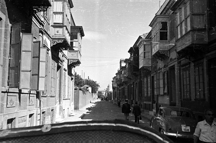
The former state of 1462 Sokak (Bulvar Alliotti, Yüzbaşı Şerafettin bey sokağı) near Alsancak station - more info. |
|
|
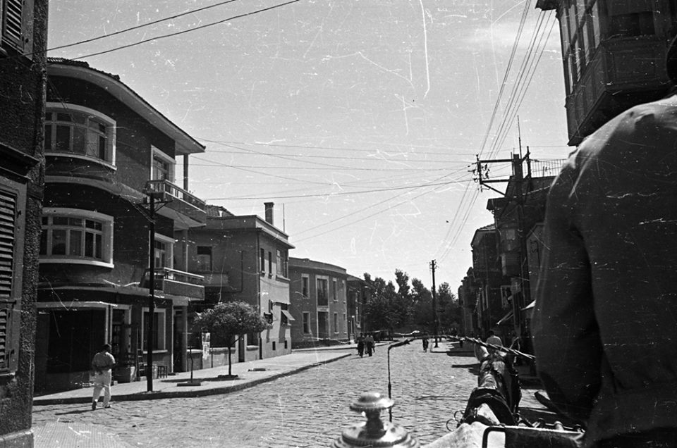
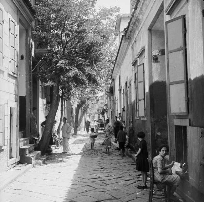
An unidentified street in the Punta area. |
|
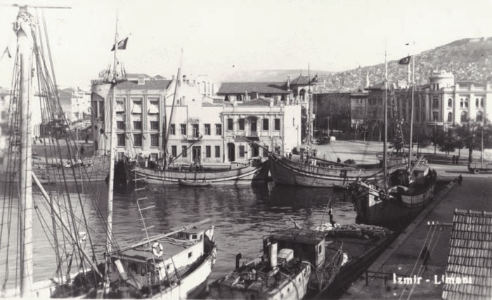
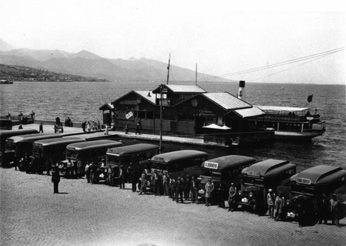
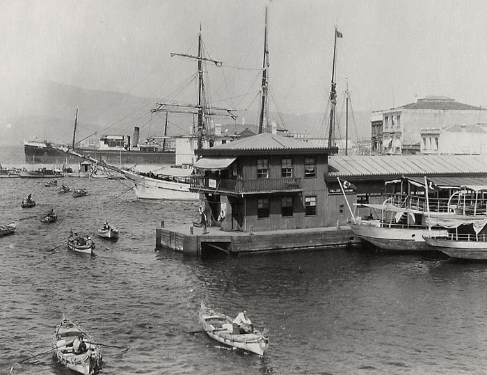
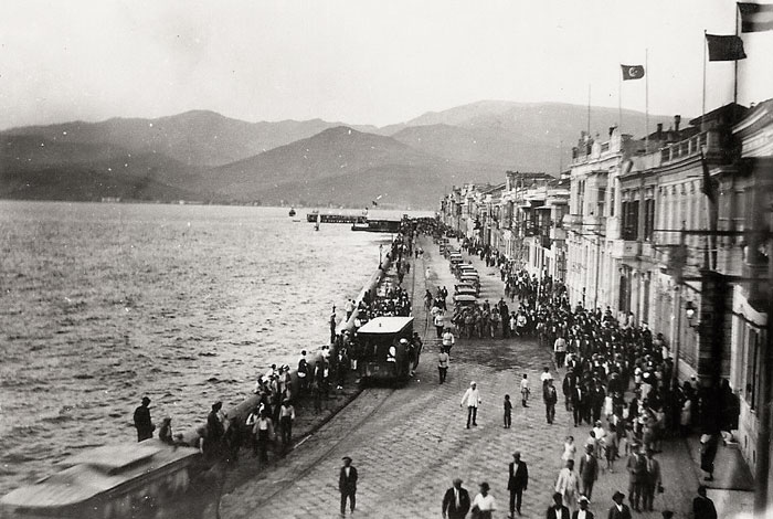
Konak pier in the 1930s, when it was a minor wooden construction. The sea has been considerably filled in since, back in this day, the position of the pier was a somewhat adjacent to the frontage of the old tobacco warehouses, once belonging to the merchant families such as the Whittalls. |
|
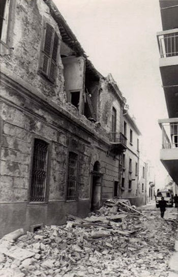
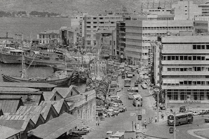
Effects in an Alsancak street of the 1975 earthquake. |
|
|
|
|
|
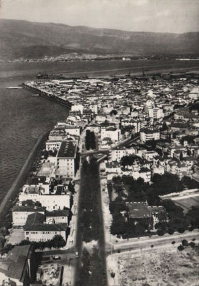
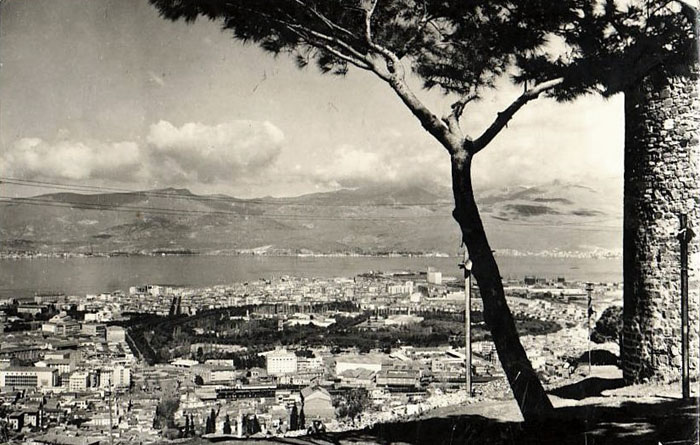
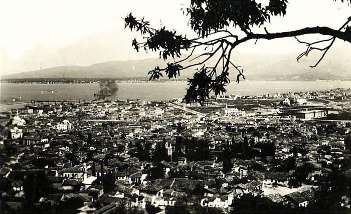
Views from Mount Pagus / Kadifekale. |
|
|
|
|
|
|
|
|
|
|
|
|
|
|
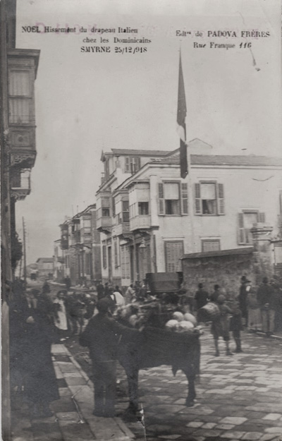
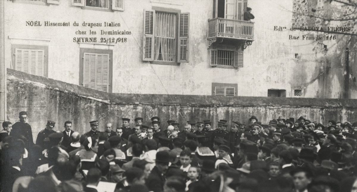
Christmas ceremony of the raising of the Italian flag with Italian mariners present at the St Rosary Catholic Church. |